Scoped to exactly where you are.
Conditions, active warnings, the week-ahead risk outlook and the incidents nearest you — everything measured from your location, not a region.
Powered by Apple Weather and the National Weather Service, on device. No fix, no invented numbers.

Ranked by what you'd feel.
Thousands of live events from USGS, NIFC, NOAA and the NWS — sorted by proximity, not recency, and filtered to the hazard you care about.
Earthquakes ranked by felt shaking where you stand, not raw magnitude.

The whole story, as it develops.
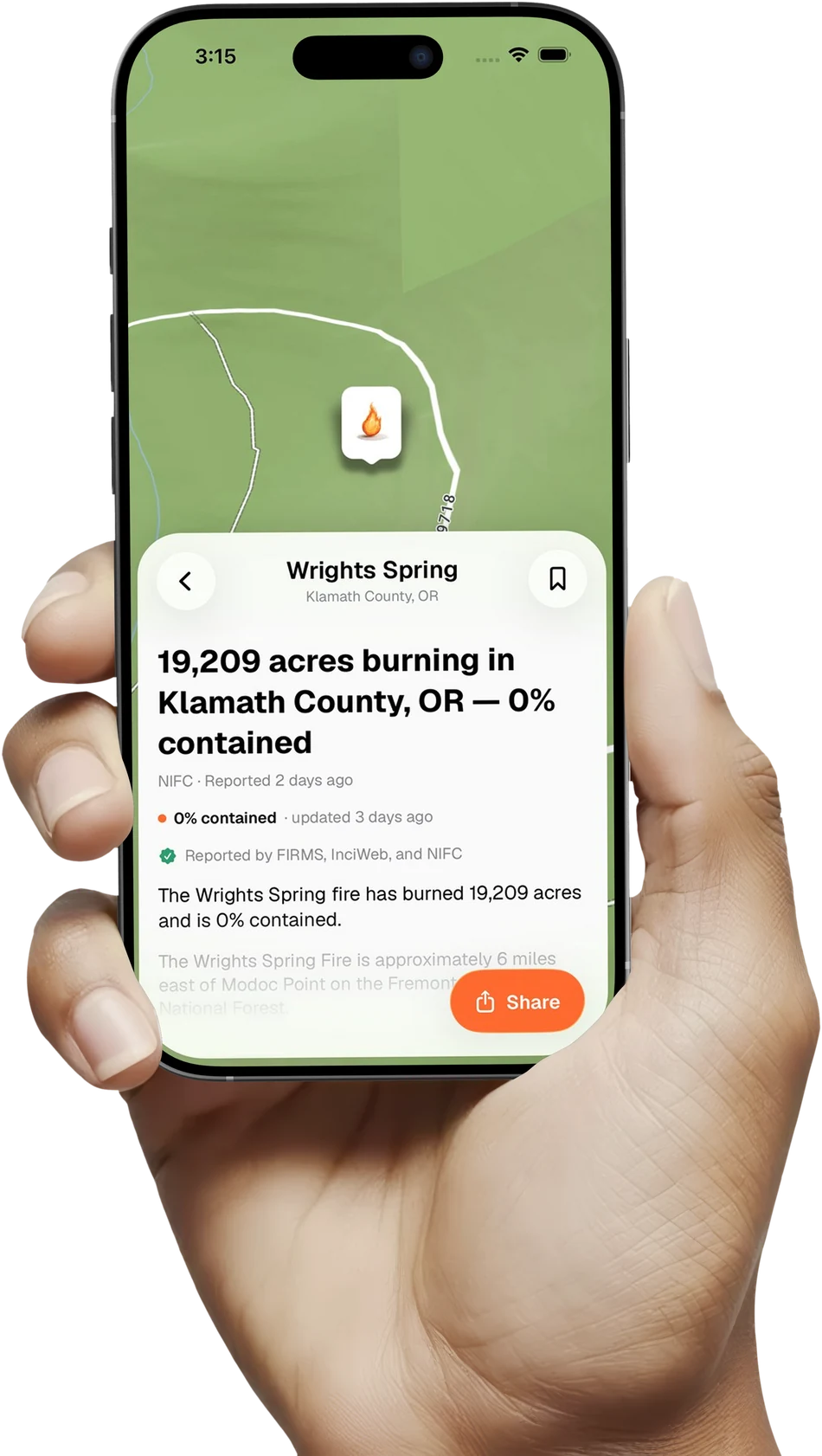
A map, a shake field, and a timeline of every agency update — for any fire, quake or flood. Plus what else is happening nearby.
Save one to follow it. Share it with a tap.

Every layer, on one map.
Satellite imagery and burned-acreage heat are free. Add drought, live radar, river flow and wind as you need them.
Hazards plotted where they are — pan the globe, zoom to your street.